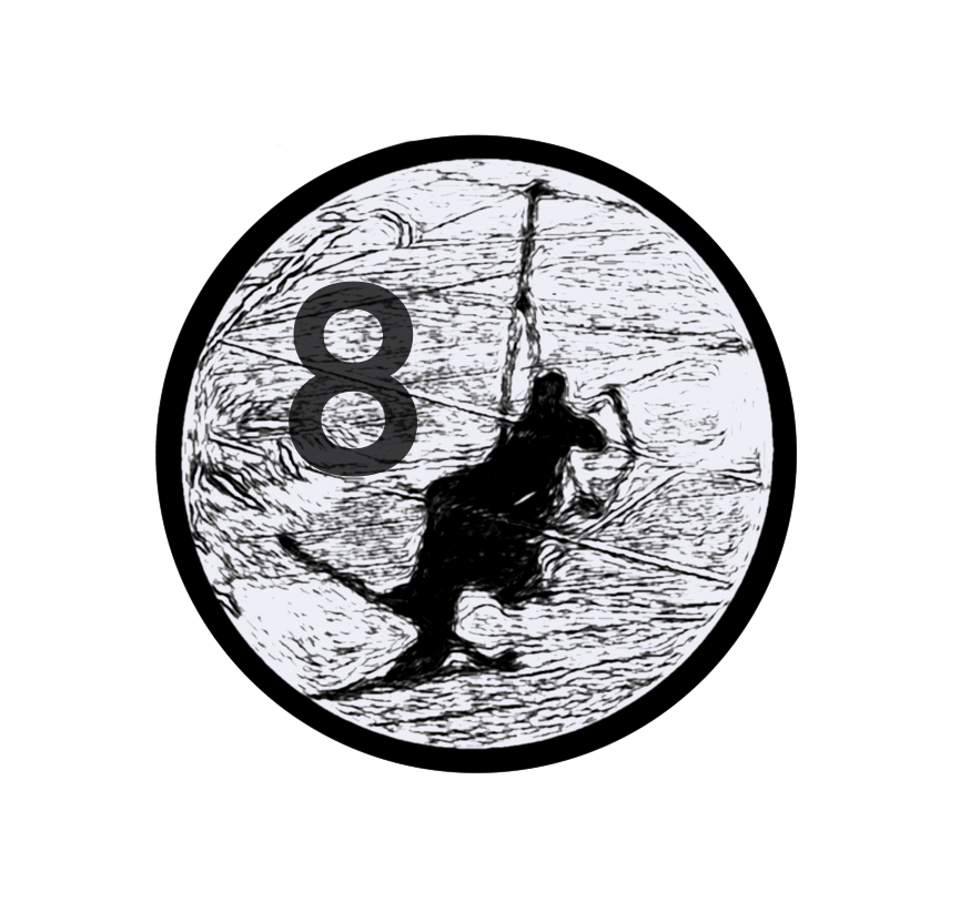
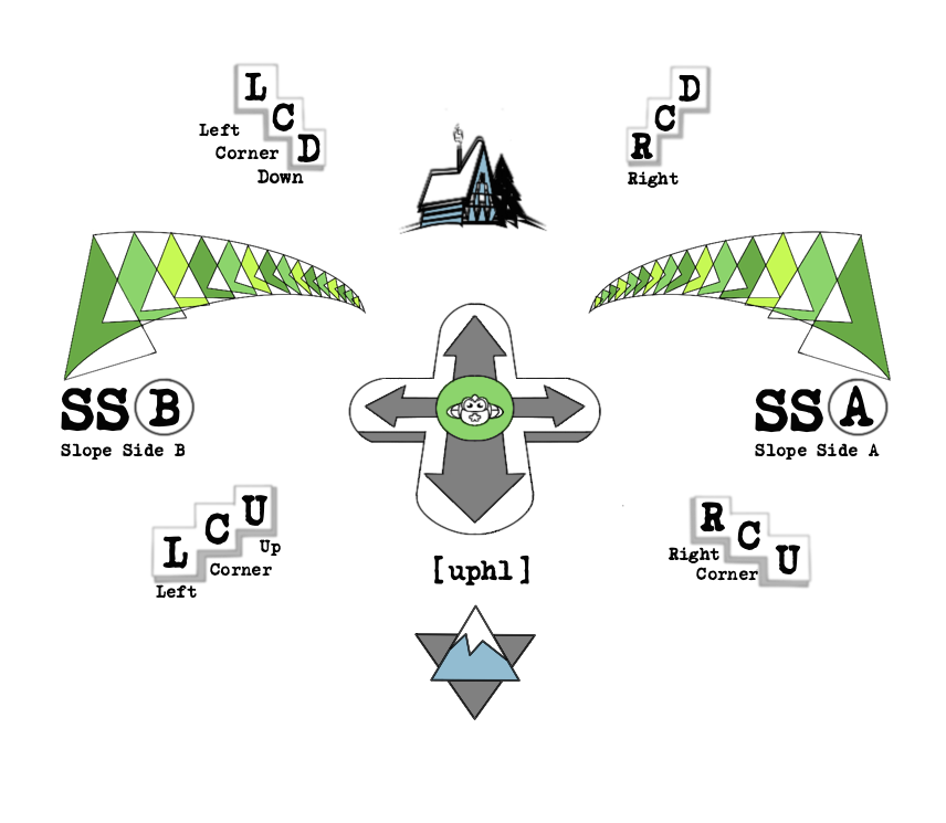
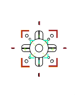
Slopenav Orientation Chart

Let’s say you work in a classroom or on stage or in any space defined by architecture or boundaries and you want to tell someone where to go. For most, there are prescribed definitions of where to go in a space that will always fit the context of a situation.
These definitions rely upon a location or an idea that is fixed in one’s mind.
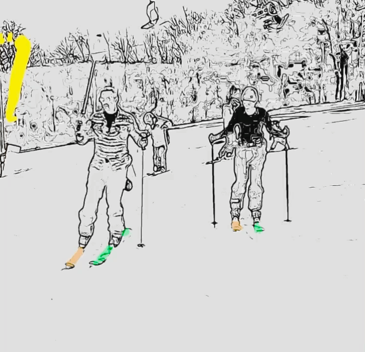
Now. Why isn’t there a universal means to convey simple and concise directions and orientation to those who participate in slope recreation? I know, right?! So consider this for a moment: it shouldn’t be a struggle to communicate with others in a learning environment when students are facing one direction while the teacher is oriented another way.
In a classroom the blackboard acts as their prime fixed location. Everything is conceptualized from that understanding and learning may henceforth proceed. On the slope it is waaaaaaaay different.
Ultimately, the teacher on the slope has to continually make mental adjustments to keep the student safe and engaged in suitable steps of learning. When the teacher is calling out commands for the student (especially ones that could have dire consequences) - the teacher has to first filter a reflexive mirror image in their mind of what their position is in relation to the student.
Couple of things for you to consider before we get into this thing.
Why is Day One on any endeavor called Orientation Day?
Also, think about how you would give directions to someone in your neighborhood who is lost on the street?
⏰ Next, the teacher must call out the directives to the student in real time. However, the student may have already changed direction while the teacher was manufacturing and calling out the correct words to command.
It’s a bit confusing isn’t it? On top of that, it is an anxiety loop for both teacher and student that tends to snowball out of control. 😳
Providing valuable feedback to the student is a process that is often either ignored or muddled by the confounded teacher in a slope scenario. Neither the teacher, nor the student are on the same page from the get-go. This is a major root problem inherent in the mountain sports industry [MSI].

The Cognitive Mapping benefit of Slopefriend’s SlopeNav Orientation Chart.
Once integrated, the SlopeNav Orientation Chart creates a whole new dimension to approaching the slopes.


When communication is clear -> flow is present.


Slopefriend has a solution for everyone on the slopes. Snowboarders, Skiers, and Snowtubers, and the workforce of Mountain Operations can all benefit from this system.

The Slopefriend SlopeNav Orientation Chart is a Video game inspired design concept used to unify an approach to communicating and learning on slopes that solves real problems and opens new possibilities.
What is important to note here is that this system is USER CENTRIC. The constant POV of the user (you) is the basis of the chart (not the instructor)*
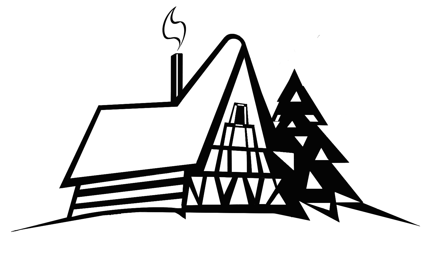

The magnetic north of the compass format in our system is naturally the Lodge Icon. Once the user has a general understanding of the 8 Directions, then the fun really begins.
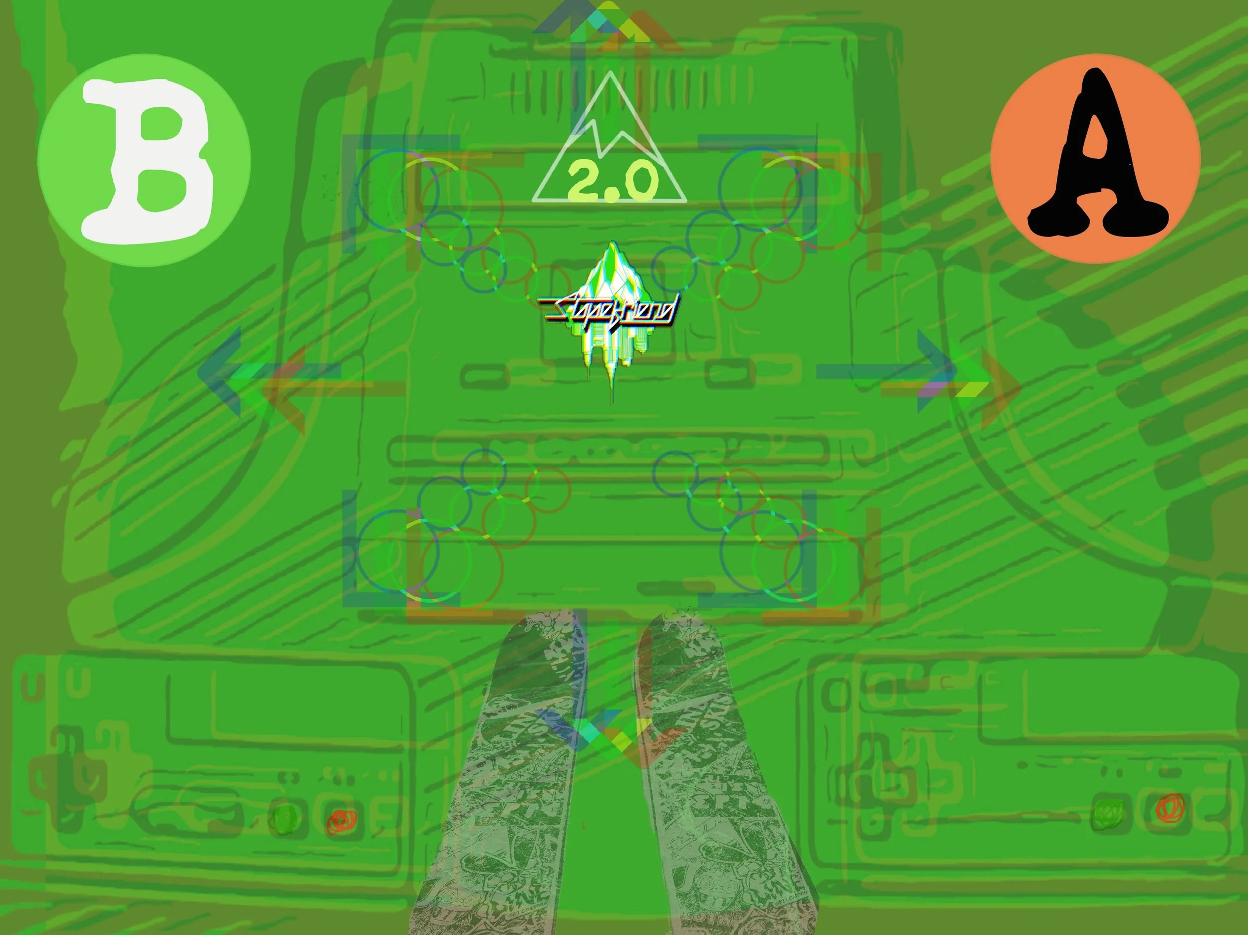
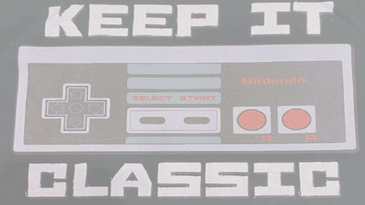
The SlopeNav Chart allows the user to integrate into a sequence of learning steps that are framed by a video game control pad analogy. This framework grounds the user into a system that is both familiar and reliably concise.
The user instantly works with flexibility and cohesion as they gain quick mastery of basic skills needed to safely and enjoyably navigate the slopes at their own pace.

* Look at any instructional method in print or media and it is always an Instructor Centric POV. They are always looking uphill at the user.
Last thing to consider… At the end of the day when we Apres -> what do we do? We go to the Lodge.